

National Park · Nakhon Phanom · Isan
Phu Langka National Park
อุทยานแห่งชาติภูลังกา
Sandstone Mountains, Forests, Caves & the Mekong Landscape
Nakhon Phanom Province · Northeastern Thailand
A compact mountain landscape where sandstone ridges, seasonal forest, streams and wildlife rise above the Mekong River plain.
Mountain, Forest & Mekong
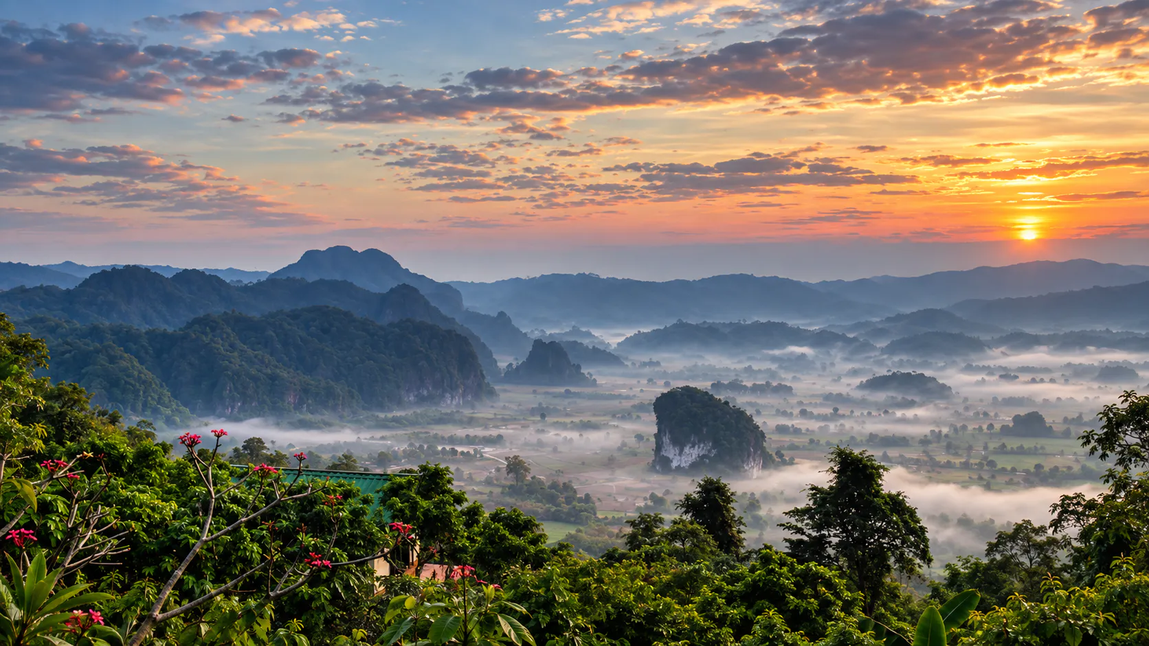
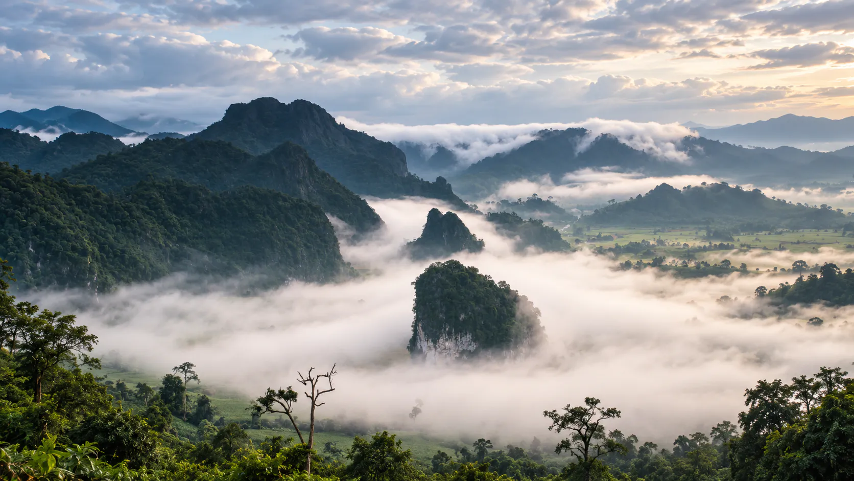
Phu Langka National Park rises above the Mekong plain in Nakhon Phanom, bringing sandstone mountains, forested ridges, cliffs, caves and streams together in one quiet northeastern landscape.
The mountains run broadly north to south as Phu Langka North, Phu Langka Central and Phu Langka South. Though more compact and lower than Thailand’s famous high-mountain parks, they stand prominently above the surrounding lowlands.
Streams born in these forests descend toward farms and communities before joining the Mekong system. Phu Langka is therefore both a nature destination and an important local watershed.
Discover the mountains. Walk through the forest. Look toward the Mekong.
At a Glance
- Official Name
- Phu Langka National Park
- Thai Name
- อุทยานแห่งชาติภูลังกา
- Location
- Ban Phaeng District, Nakhon Phanom
- Region
- Northeastern Thailand · Isan
- National Park Number
- 117
- Established
- 23 December 2009
- Area
- Approximately 31,250 rai / 50 km²
- Highest Point
- Approximately 563 metres above sea level
- Landscape
- Sandstone mountains, forests, cliffs, caves and streams
- Forest Types
- Dry evergreen, mixed deciduous and dry dipterocarp
- Best For
- Nature, hiking, photography, camping and birdwatching
The official headquarters is in Phai Lom Subdistrict, Ban Phaeng District.
Why Visit Phu Langka?
Its appeal is not built around one landmark. It comes from the relationship between mountain, forest, rock, water and the Mekong.
- Forested mountain ridges above the lowlands
- Sandstone cliffs, caves, terraces and rock shelters
- Seasonal waterfalls and cool forest streams
- Birds, small mammals, orchids and native plants
- Photography across mountain, plain and Mekong landscapes
- Designated camping and park accommodation
The Geography of Phu Langka
The principal mountain sections — Phu Langka North, Central and South — are accompanied by smaller ridges and hills. Their highest point reaches about 563 metres. Numerous small watersheds begin on these slopes.
A Sandstone Mountain Landscape
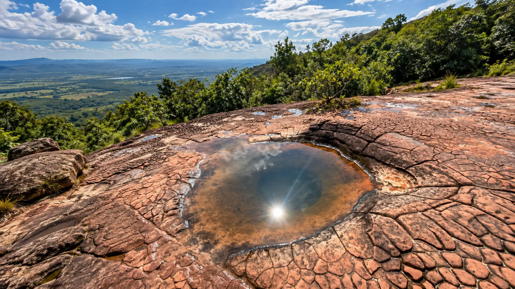
Phu Langka belongs to the broader geology of the Khorat Plateau. Rock units associated with the Khorat Group, including the Phu Phan and Phu Kradung formations, have been shaped by rain, flowing water, temperature change and long-term erosion.
These processes have created cliffs, caves, rock shelters, terraces, boulders, steep slopes and natural drainage channels — a geological framework now interwoven with forest.
A Source of Water
Several streams originate in or around the mountains, including Huai Sai Nuea, Huai San, Huai Yang Nok Hae, Huai Langka, Huai Kham and Huai Sai Tai. They descend toward agricultural lowlands and eventually the Mekong.
Protecting the mountain forest helps protect water resources, soil, biodiversity and the communities connected to them.
Forests of Phu Langka
- Dry Evergreen Forest
- Denser vegetation where moisture remains available, especially around streams and sheltered valleys.
- Mixed Deciduous Forest
- Seasonal woodland that sheds leaves in dry months and turns vividly green when rain returns.
- Dry Dipterocarp Forest
- More open forest on drier terrain, supporting drought-tolerant trees, seasonal grasses and sunlit ground vegetation.
Wildflowers & Orchids
Native orchids, including members of the Dendrobium group, grow alongside medicinal and traditional herbal plants. Rainy-season growth can bring fresh colour to the forest floor. Observe without picking or removing specimens.
Wildlife & Birdwatching
Reported forest mammals include wild boar, macaques, muntjac, civets, squirrels, flying squirrels and other small species. Birds, reptiles and snakes are also part of the ecosystem.
Sightings are never guaranteed. Wildlife moves quietly and is often most active during cooler hours. The mix of dry forest, evergreen vegetation, streams, slopes and open edges makes early morning the most rewarding time for birdwatching.
Waterfalls, Streams & Caves
- Seasonal Waterfalls
- Flow changes dramatically with rainfall. Wet-season falls may be powerful; smaller cascades can reduce substantially in dry months.
- Forest Streams
- Small channels cut through sandstone and create cool, moist habitats for plants and wildlife.
- Caves & Rock Shelters
- Natural spaces that reveal long geological processes and may shelter bats, insects and other cave wildlife.
Do not enter streams during or immediately after heavy rain, when water can rise rapidly. Never enter a cave or trail closed by park officials.
The Mekong Connection
Phu Langka rises inland from the Mekong corridor. Its streams feed the wider river system, while elevated terrain reveals the contrast between forested mountain, agricultural plain and the great river landscape beyond.
Nakhon Phanom is closely identified with the Mekong, but this park offers another side of the province. A road trip can move from the riverfront into the forested uplands, revealing how conservation and local life are linked through water.
Climate & Best Time to Visit
- Cool season · November–February
- The most comfortable period for hiking and camping. Strong winter conditions can bring mountain temperatures down to approximately 0–5°C, so pack warm layers.
- Hot season · March–May
- Exposed sandstone becomes hot around midday. Begin outdoor activities early or wait until late afternoon.
- Rainy season · June–October
- Annual rainfall is approximately 1,860 mm. Forest turns greener and waterfalls strengthen, but rocks, trails and slopes become slippery.
- General outdoor travel: November–February
- Green forest and waterfalls: June–October
- Photography: early morning and late afternoon
- Camping: cool season, with warm sleeping equipment
What to Do
- Explore the mountain landscape. Notice how vegetation changes across slopes, ridges and valleys.
- Discover sandstone formations. Look for cliffs, shelters, exposed rock and patterns created by erosion.
- Visit seasonal waterfalls. Choose the rainy months when water is your priority.
- Explore accessible caves. Follow current park instructions and protect cave wildlife.
- Go birdwatching. Start early and move quietly through forest habitats.
- Photograph the Mekong landscape. Frame foreground forest, mountain ridge, lowland and distant river country.
- Camp overnight. Experience the cooler, quieter mountain environment after sunset.
Camping & Accommodation
The Department of National Parks lists the Phu Langka–Nakhon Phanom Camping Area, with rental equipment that may include tents, sleeping bags, mats and pillows.
Park accommodation is also listed as Phu Langka 101 (San Luang). Capacity, prices, facilities and availability can change, so use the official DNP reservation system and confirm current conditions before travelling.
A Simple Overnight Experience
- Afternoon
- Arrive, settle in and take a short walk while temperatures are comfortable.
- Sunset
- Use an approved viewpoint and watch the mountain light soften.
- Evening
- Keep noise and artificial light low around the camping area.
- Early Morning
- Wake before sunrise for cool air, birds and a quieter forest.
- Before Departure
- Leave your campsite completely clean and carry all waste out.
Photography Guide
- Sandstone
- Use side lighting in early morning or late afternoon to reveal texture and shape.
- Forest
- Contrast rainy-season green with exposed rock, or use the open structure of dry-season woodland.
- Waterfalls
- After rain, use slower shutter speeds carefully while keeping yourself and equipment on stable ground.
- Mountain Views
- Build layers from foreground forest to ridge, lowland and the wider Mekong landscape.
Hiking Safety
Some terrain is steep and includes cliffs or slippery sandstone. Before setting out, confirm the weather, trail status, park instructions, water availability and any registration or guide requirements.
- Carry drinking water, food and basic first-aid supplies
- Wear footwear with reliable grip
- Bring sun protection and insect repellent
- Stay back from cliff edges, especially when taking photographs
- Treat wet sandstone as extremely slippery
- Stay on appropriate routes and follow ranger instructions
Respect the Forest
Take photographs, not specimens. Take nothing. Leave nothing. Disturb nothing.
- Do not collect rocks, flowers, orchids, plants or forest products
- Never carve or mark sandstone
- Do not feed, chase or approach wildlife
- Carry all rubbish out
- Respect local places and park regulations
- Do not create new trails through sensitive vegetation
Who Is Phu Langka For?
- Nature Lovers
- A compact mountain park with several forest ecosystems.
- Photographers
- Sandstone, seasonal forest, water and layered mountain scenery.
- Birdwatchers
- Varied habitats within a relatively small protected landscape.
- Campers
- Designated facilities in a cooler mountain environment.
- Slow Travelers
- A place that rewards observation more than rushing between landmarks.
- Road Trippers
- A natural addition to a wider Nakhon Phanom and Mekong journey.
A Different Side of Isan
Beyond the rice fields, temples, food and local culture commonly associated with northeastern Thailand, Phu Langka rises into sandstone mountains. Streams begin in the forest, caves form within the rock and seasonal woodland changes between rain and drought.
This is quieter Isan travel — less about checking off attractions, more about understanding the landscape.
Essential Information
- National Park
- Phu Langka National Park
- Thai Name
- อุทยานแห่งชาติภูลังกา
- Province
- Nakhon Phanom
- Region
- Northeastern Thailand · Isan
- Status
- Thailand’s 117th national park · 23 December 2009
- Area
- Approximately 31,250 rai / 50 km²
- Highest Point
- Approximately 563 metres
- Mountain Sections
- Phu Langka North, Central and South
- Geology
- Predominantly sandstone
- Water System
- Mountain streams flowing toward the Mekong
- Camping
- Available, subject to current operations
- Accommodation
- Available, subject to reservation
- Best General Season
- November–February
- Green / Waterfall Season
- June–October
Frequently Asked Questions
- Where is Phu Langka National Park?
- It is primarily around Ban Phaeng District in Nakhon Phanom Province, northeastern Thailand.
- Is Phu Langka in Phayao?
- This guide is not about the Phayao destination. Phu Langka Forest Park / Doi Phu Langka in Phayao is a separate place.
- When was it established?
- It became Thailand’s 117th national park on 23 December 2009.
- How large and high is the park?
- Approximately 31,250 rai or 50 km², with a highest point of about 563 metres.
- What landscape can I expect?
- Sandstone mountains, forests, cliffs, caves, streams and seasonal waterfalls.
- Can I camp overnight?
- Yes. DNP lists a designated camping area and rental equipment, subject to current availability.
- Is park accommodation available?
- Yes. Phu Langka 101 (San Luang) is listed, subject to current reservations and operations.
- Is it good for hiking?
- Yes, but route difficulty varies. Confirm trail status and park requirements before setting out.
- Can I see wildlife?
- Wildlife lives throughout the forest, but sightings are unpredictable. Cooler early and late hours are generally best.
- When should I visit?
- November–February is comfortable; June–October is greener with stronger water flow but more slippery terrain.
- Is the park connected to the Mekong?
- Yes. Streams originating in the mountains ultimately flow toward the Mekong system.
- Is this the famous Phu Langka with Pha Chang Noi?
- No. Pha Chang Noi belongs to the different Phu Langka destination in Phayao.
Location
Find Phu Langka National Park
Ban Phaeng · Nakhon Phanom · Northeastern Thailand