02
History & Heritage
A Sea Gate Called Pak Nam
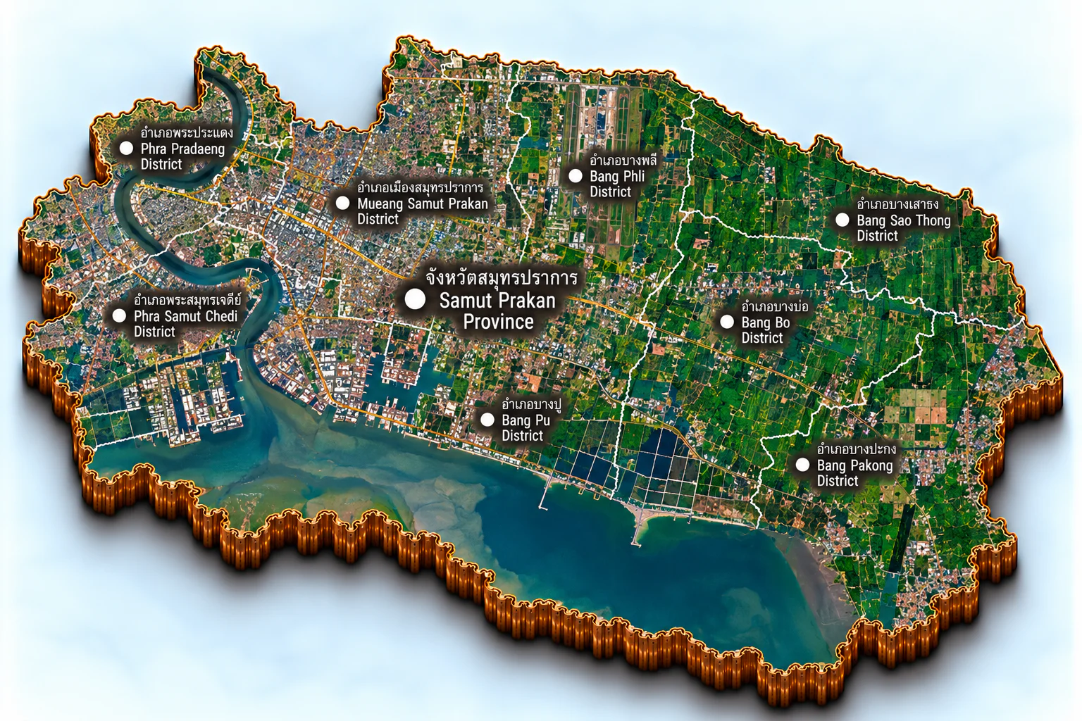
The name means a wall by the sea. People still call the town Pak Nam — it stands on the left bank of the Chao Phraya, about six kilometres up from the Gulf. Before this town, an older Phra Pradaeng watched the mouth. Provincial history treats that place as a southern frontier post, later left inland as the river laid silt and the shore grew south; the old site is placed in what is now Phra Khanong, in Bangkok.
King Songtham’s reign, about 1620–1628 (B.E. 2163–2171), is when the provincial history places a new frontier town on the south side of Khlong Bang Pla Kot, on the right bank. The same account says he granted Dutch traders a lot there, which they called New Amsterdam. When King Borommakot sent monks to Lanka, the chronicle still has their ships passing the Dutch building at Bang Pla Kot. What is firmly dated is the name itself: a law of 1635 (B.E. 2178) already calls the town Samut Prakan.
Early Bangkok still needed a gate on the Gulf. King Rama I raised one fort on the left bank, Pom Witthayakhom. King Rama II rebuilt the right-bank guard-town as Nakhon Khuean Khan, finished in 1815 (B.E. 2358), and settled Mon households from Pathum Thani there; King Vajiravudh later restored the name Phra Pradaeng. In 1819 (B.E. 2362) Rama II laid Samut Prakan out again at Bang Chao Phraya — today’s Pak Nam municipality and Bang Mueang — between Khlong Pak Nam and Khlong Maha Wong. Six forts held the channel. On the left bank were Phra Khon Chai, at the mouth of Khlong Pak Nam, then Narai Prap Suek, Prakan, and Kai Sitthi in Bang Mueang. On the right bank were Nakharat, and Phi Suea Samut on an island in the river. The town was finished in B.E. 2365, with a city-pillar rite still kept at San Chao Pho Lak Mueang.
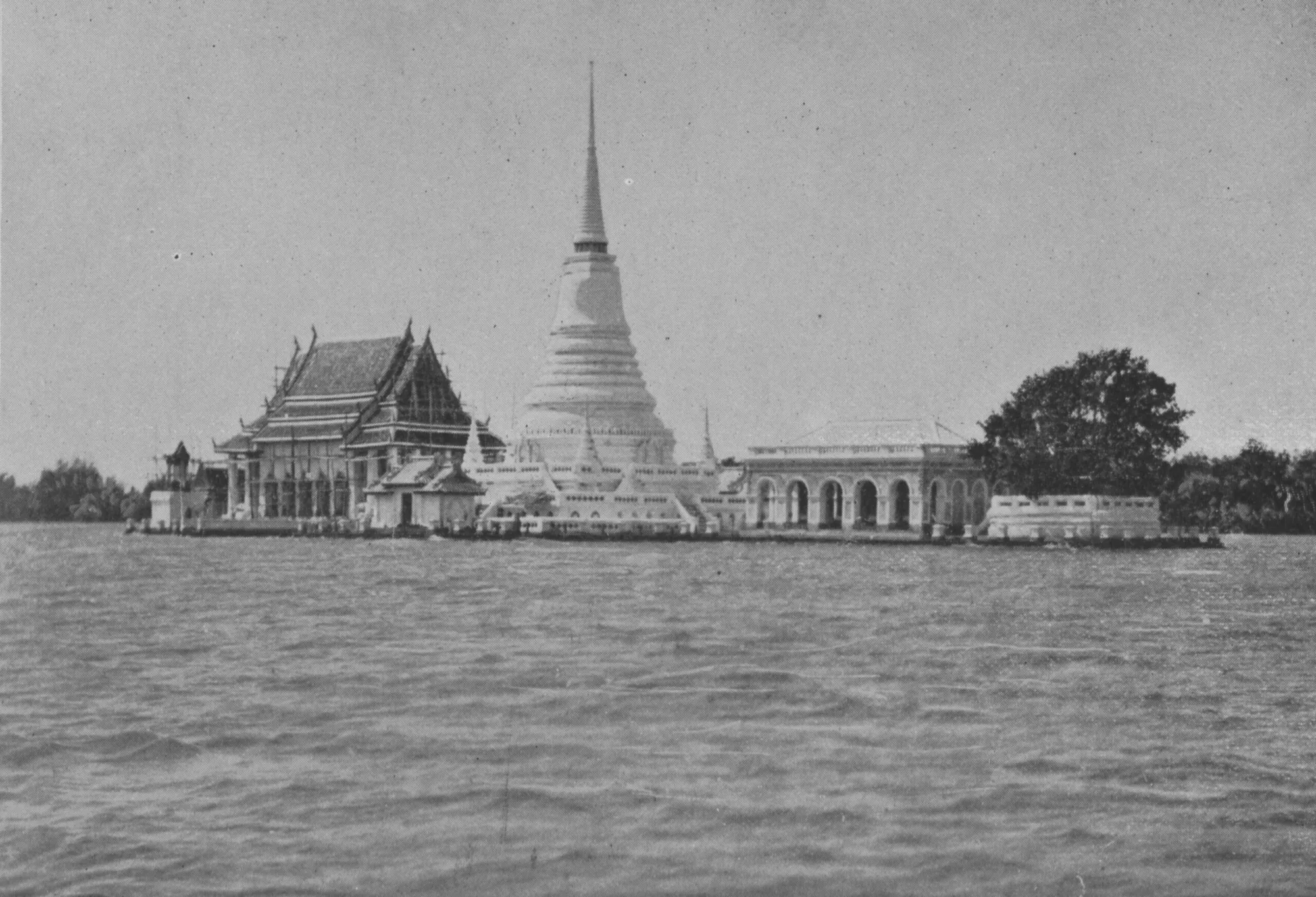
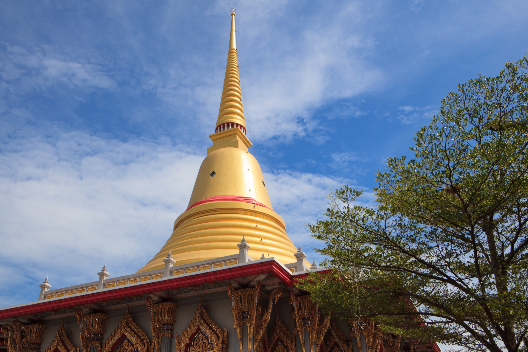
In 1823 (B.E. 2366) he ordered Phra Samut Chedi on a sand island below Phi Suea Samut Fort, a mark ships could sail around. He died in 1824 (B.E. 2367) before the work was done. King Rama III finished the chedi in 1828 (B.E. 2371). King Mongkut later had a taller round shell built over it, copied from an Ayutthaya chedi, so vessels coming in from the Gulf could see it, and twelve Buddha relics were placed inside. Silt has since joined the island to the bank. Older photographs still show the chedi standing in open water.
On 16 July 1891 (B.E. 2434) King Chulalongkorn turned the first soil of a private line of about 21 kilometres from Bangkok to Pak Nam — the first railway in Thailand. It opened on 11 April 1893 (B.E. 2436) and ran until 1 January 1960 (B.E. 2503). In those same years the navy built Phra Chulachomklao Fort at the mouth, begun in 1884 (B.E. 2427) and finished around the middle of 1893. On the evening of 13 July 1893 French warships ran the forts and forced the river. That fight is remembered as the Paknam Incident.
In 1916 (B.E. 2459) King Vajiravudh changed the word mueang to changwat, and Samut Prakan and Phra Pradaeng were separate provinces. In the slump under King Prajadhipok, Phra Pradaeng province was abolished in 1932 (B.E. 2475) and its district joined Samut Prakan; Rat Burana went to Thonburi. During the Second World War, in 1943 (B.E. 2486), Samut Prakan itself was joined to Phra Nakhon. An act of 9 May 1946 (B.E. 2489) established the province again, together with Nonthaburi, Samut Sakhon, and Nakhon Nayok. That date is kept as Samut Prakan’s foundation day.