01
Geography & Climate
Two Banks of the Chao Phraya
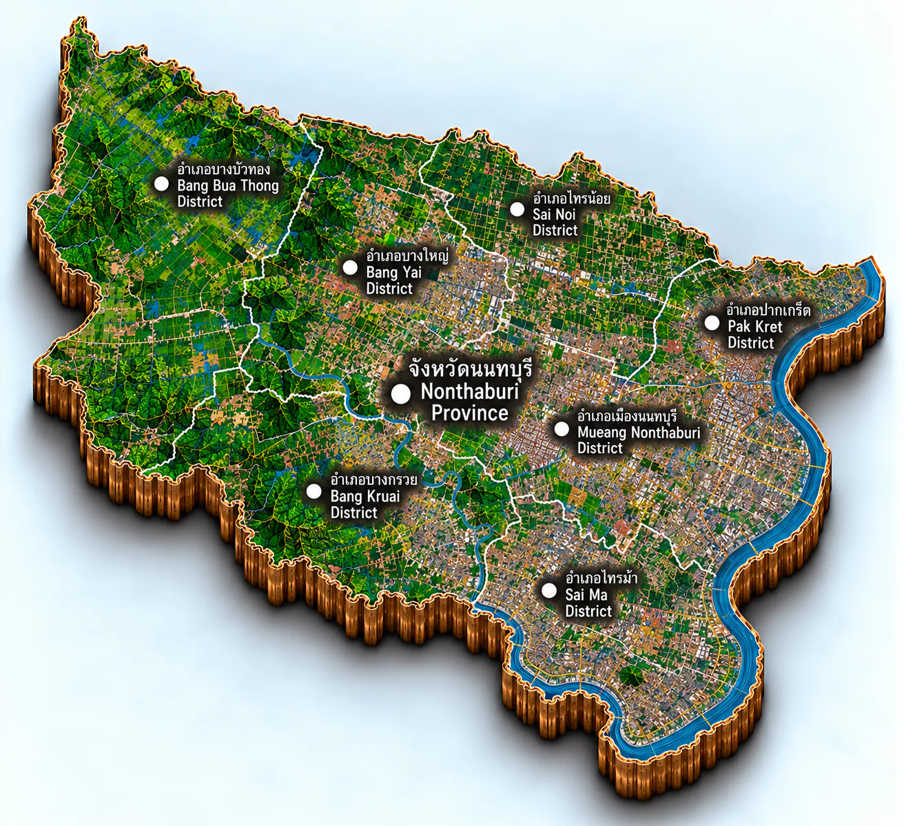
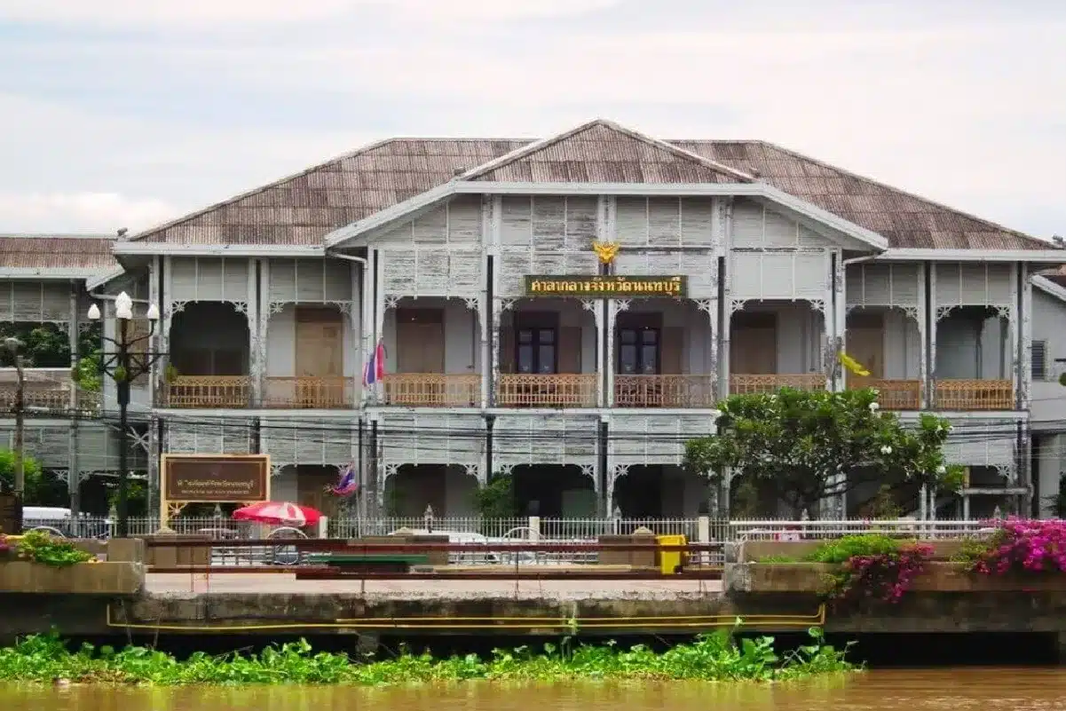
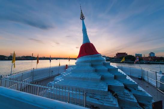
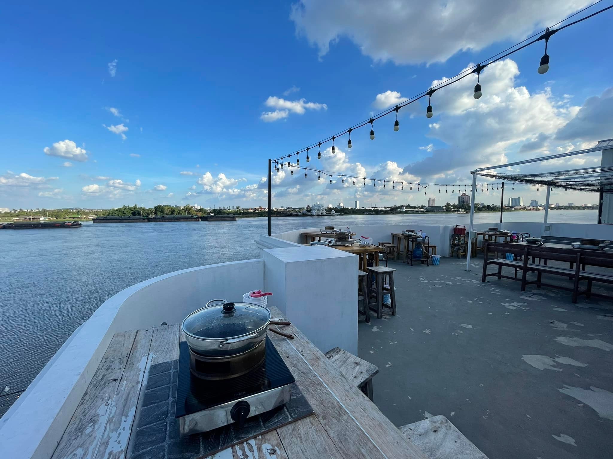
Nonthaburi sits in Central Thailand on the Chao Phraya — one of five Bangkok metropolitan provinces, with Samut Prakan, Nakhon Pathom, Samut Sakhon, and Pathum Thani. It covers about 622 square kilometres, the second-smallest province in the central region after Samut Songkhram, and lies only about twenty kilometres from the capital.
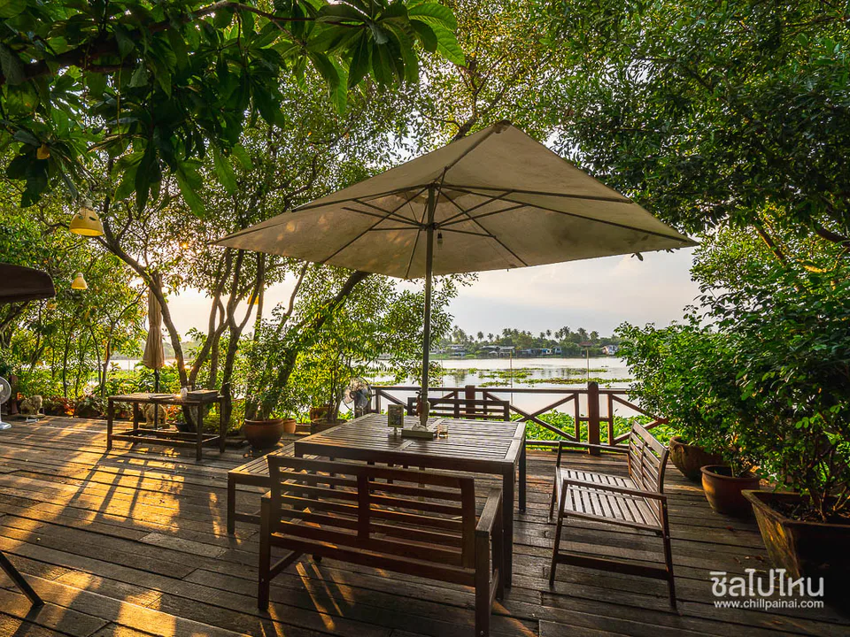
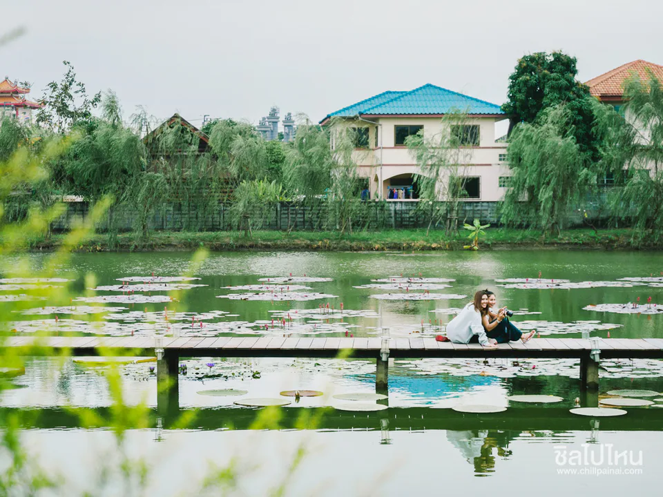
The river splits the land into east and west banks. Six districts share the plain: Mueang Nonthaburi, Pak Kret, Bang Bua Thong, Bang Yai, Bang Kruai, and Sai Noi. Most ground is low floodplain — once famous Ayutthaya-era fruit orchards, rice fields, and canal gardens. Today the east bank, pressed against Bangkok, has grown into dense housing and industry, while canal pockets and riverside orchards still hold the older green character that made Nonthaburi a City of Delight.
The climate is tropical monsoon. Cooler, drier air settles from about November to February; March to May is the hot stretch; southwest rains green the orchards and raise the river from roughly May through October.
Best time: November – February for cool, clear days along the Chao Phraya and on Koh Kret; May – October for lush canal green and quieter riverside travel — pack for afternoon showers.