01
Geography & Climate
Tha Chin Plains & Orchard Country
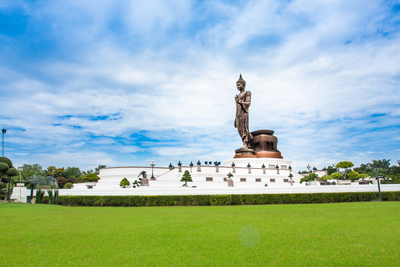
Nakhon Pathom covers about 2,168 square kilometres in western Central Thailand — roughly 56 kilometres from Bangkok along Phetkasem Road, or about 51 kilometres via Borommaratchachonnani. Suphan Buri lies to the north; Samut Sakhon and Ratchaburi to the south; Nonthaburi, Bangkok, and Ayutthaya to the east; Ratchaburi and Kanchanaburi to the west. Seven districts share the land: Mueang Nakhon Pathom, Nakhon Chai Si, Phutthamonthon, Sam Phran, Kamphaeng Saen, Don Tum, and Bang Len.
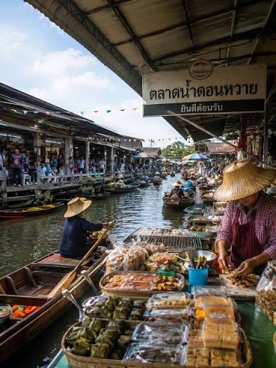
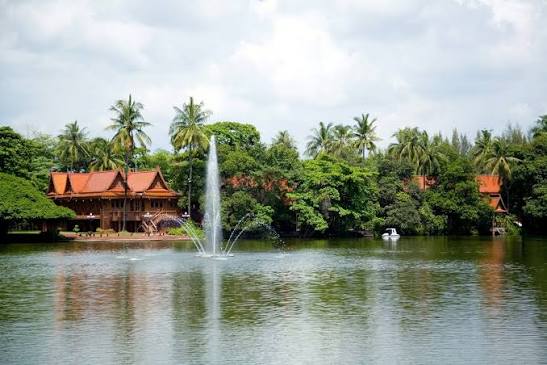
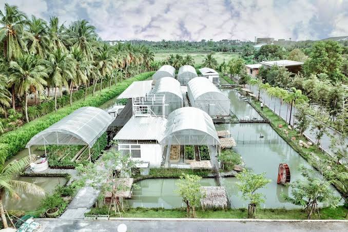
This is low alluvial plain — almost no mountains or forest, with most ground only 2–10 metres above sea level, sloping gently north to south and west to east. The Tha Chin River (locally Nakhon Chai Si) runs through from north to south; canals braid the fields for rice, fruit orchards, and village travel. The north and northeast sit a little higher; the centre and the river’s east and south banks settle into classic central-plain wetlands and orchard grids — the green bowl that feeds Bangkok’s western edge.
The climate is tropical savanna. Cooler, drier days settle from about November to February; March to May is the hot stretch; the southwest monsoon greens the orchards and raises the river from roughly May through October.
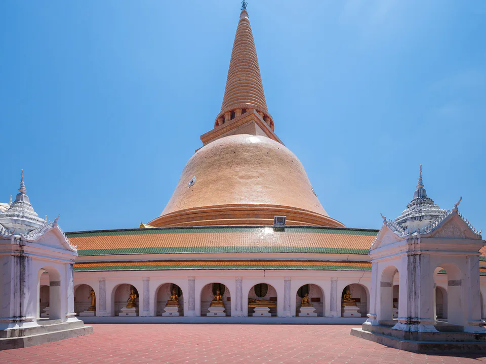
Best time: November – February for cool, clear days at the Great Chedi and along the Tha Chin; May – October for lush orchards, fuller canals, and quieter green-season travel.