01
Geography & Climate
Plains Rising into Khao Yai
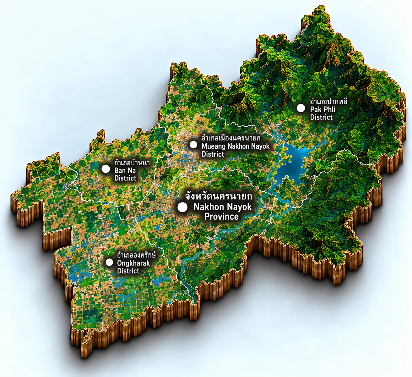
Nakhon Nayok covers about 2,122 square kilometres, roughly 105 kilometres northeast of Bangkok along Highway 305. Saraburi and Nakhon Ratchasima lie to the north, Prachinburi to the east and south, Chachoengsao to the south, and Pathum Thani to the west. Four districts share the land: Mueang Nakhon Nayok, Ban Na, Ongkharak, and Pak Phli.
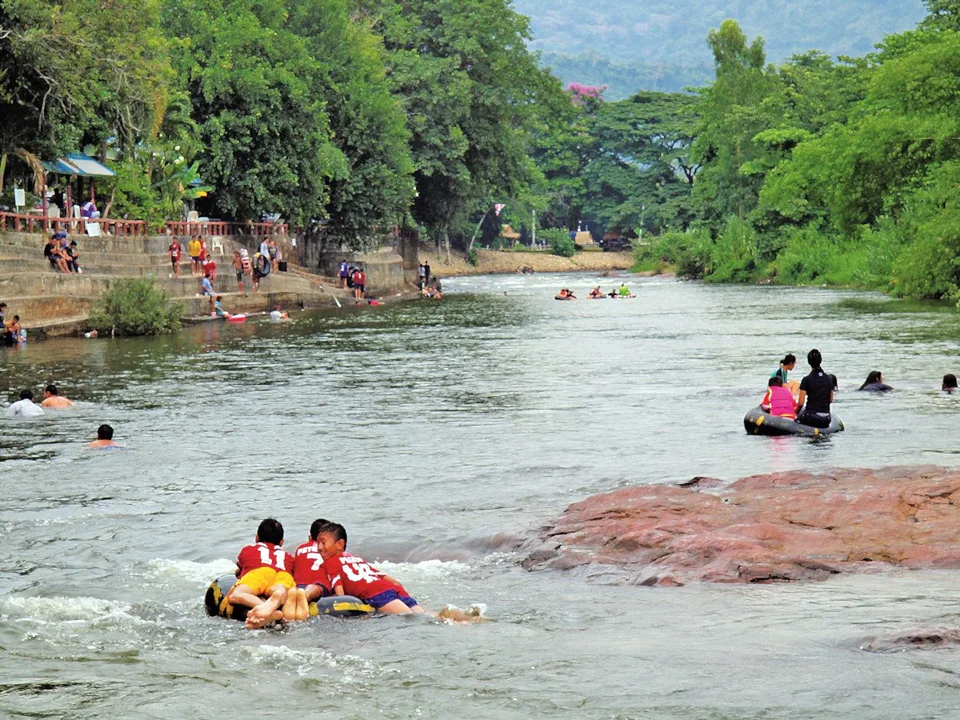
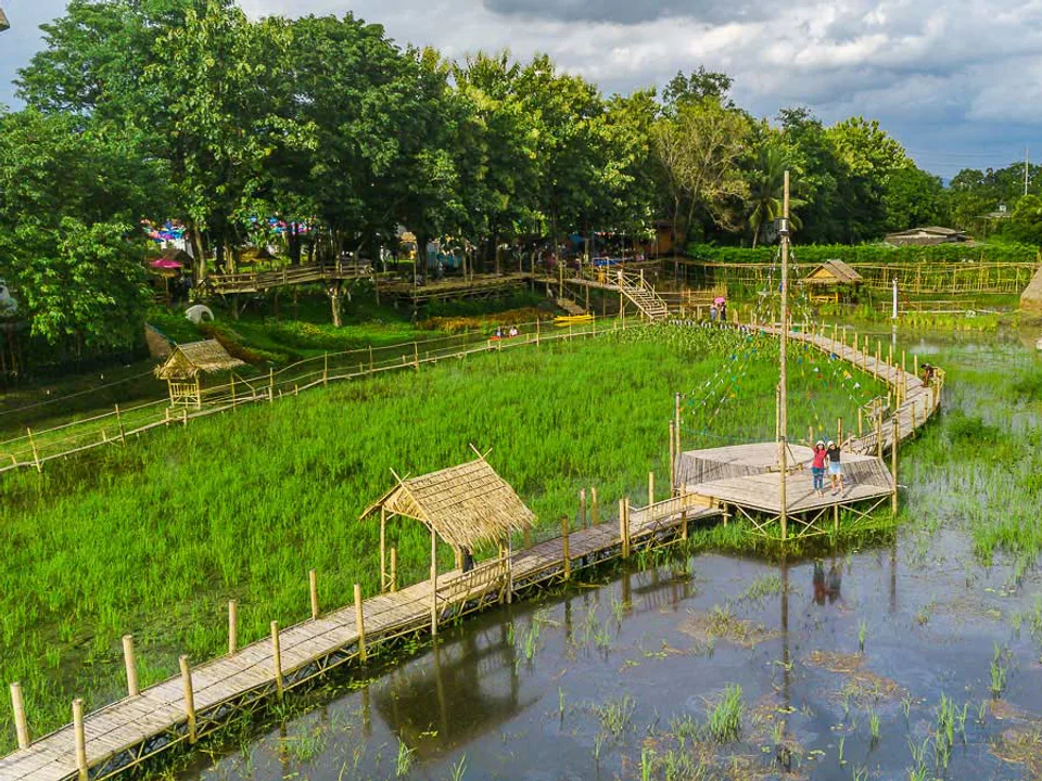
The north and east climb into the Dong Phaya Yen range and Khao Yai National Park, a forest shared with Saraburi, Nakhon Ratchasima, and Prachinburi, with ridges near 1,292 metres. The centre and south settle into the Bangkok plain — sandy and clay soils suited to rice and fruit orchards. The Nakhon Nayok River leaves those hills, runs about 130 kilometres southwest through the town, Ban Na, and Ongkharak, and meets the Bang Pakong at Pak Nam Yothaka. Khun Dan Prakarn Chon Dam holds the river where the forest meets the fields.
The year divides into three seasons. Mid-February to mid-May is hot, and April is the warmest month. Mid-May to mid-October brings the southwest monsoon, with the hills catching the heaviest rain. Mid-October to mid-February turns cooler and drier.
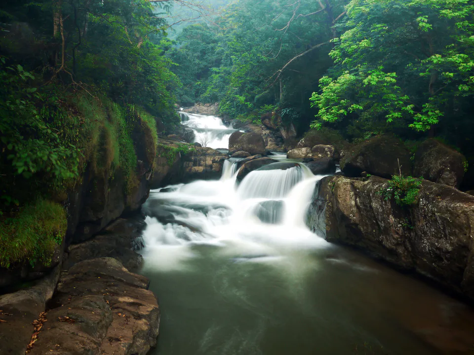
Best time: November – February for cooler, clearer days on the plain and along the forest edge; May – October for green hills and waterfalls at their fullest.