02
History & Heritage
From Phetchabura to Khao Kho
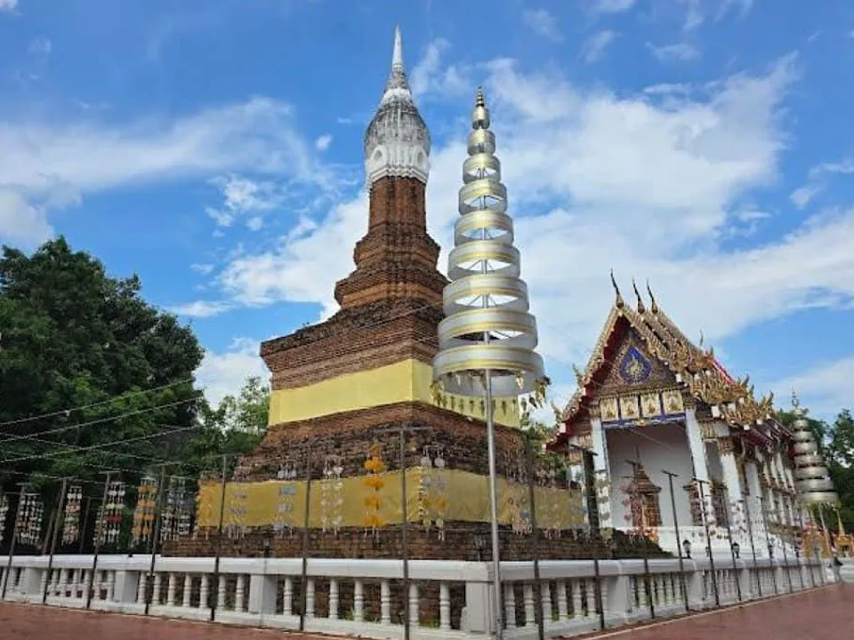
Phetchabun’s older name was Phetchabura — “city of crops and grain” — kept on a gold-leaf inscription from the lotus-bud chedi at Wat Mahathat. Later the spelling settled into Phetchabun, read as a city abundant in diamonds, and a diamond took its place on the provincial seal. People were in this valley long before that name. Polished stone bracelets and axes from Wang Pong and Chon Daen point to communities some 3,000 to 4,000 years old, and Si Thep in the south was already a great early town more than 2,000 years ago, kin to ancient settlements along the Pa Sak and in Lopburi.
The written age opens with Dvaravati Si Thep: a moated city tied to the Pa Sak and Chao Phraya worlds, with Buddhist monuments such as Khao Klang Nai and Khao Klang Nok, dharmachakra wheels, and Pallava-script inscriptions about 1,200 to 1,400 years old. Khmer influence followed some 800 to 900 years ago — Hindu shrines such as Prang Si Thep, Prang Song Phi Nong, and Prang Ruesi — and the town’s trace fades after the reign of Jayavarman VII. In September 2023 UNESCO inscribed The Ancient Town of Si Thep and its Associated Dvaravati Monuments, joining the ancient town, Khao Klang Nok, and the cave at Khao Thamorrat.
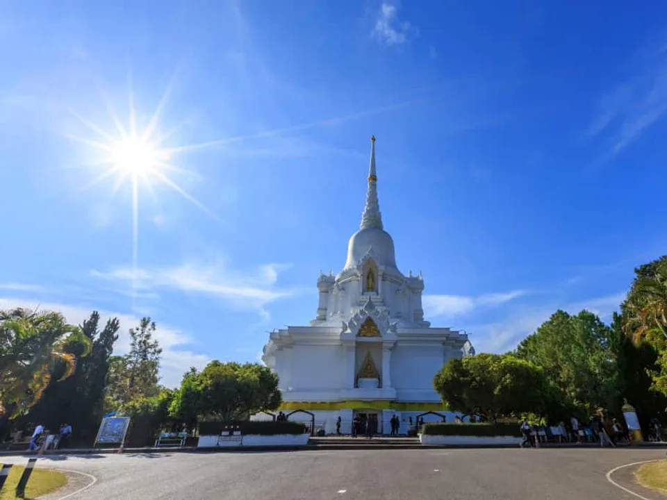
Under Sukhothai, Phetchabun was a southeastern frontier town. “Lumbachai” in King Ram Khamhaeng’s Inscription I is believed to be Lom Kao, and “Vajjapura” in Inscription 93 to be Phetchabun itself — a border of the kingdom under Ram Khamhaeng and Maha Thammaracha I (Lithai). Earlier still, the Wat Si Chum inscription names Pho Khun Pha Mueang of Mueang Rat, who with Pho Khun Bang Klang Hao took Sukhothai back from its Khmer governor and set Bang Klang Hao on the throne. Lom Sak still keeps Pha Mueang’s monument, and the lotus-bud chedi at Wat Mahathat carries Sukhothai form into the valley. Ayutthaya kept the city as a high frontier town and a gate for armies moving north; Prince Damrong later read two towns on the same ground — an earlier city with the Pa Sak in its middle and walls about 800 metres a side, then a smaller fort in the manner of King Narai’s Lopburi.
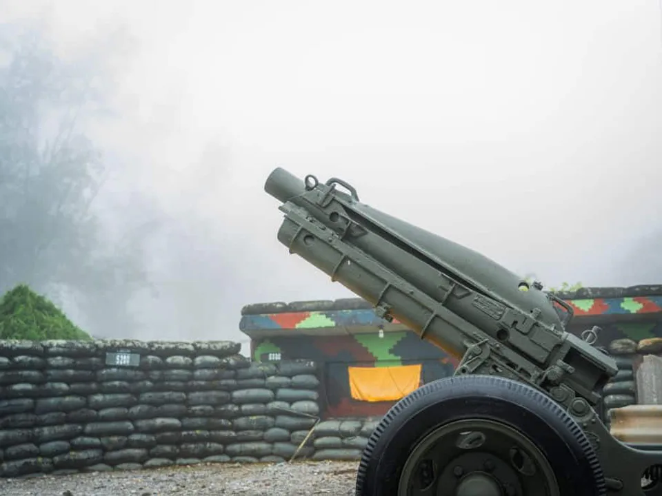
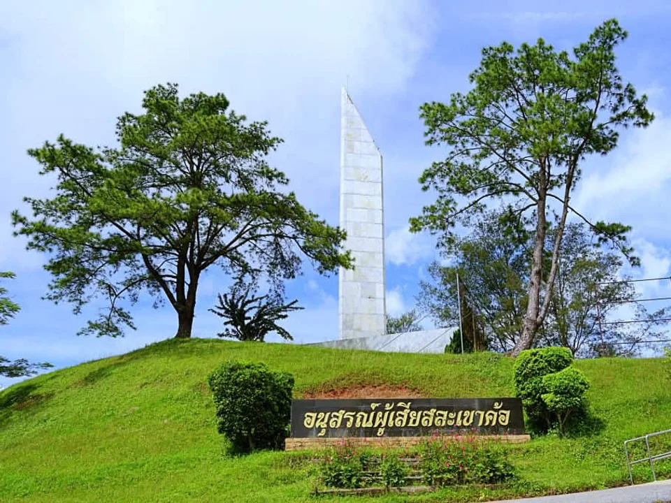
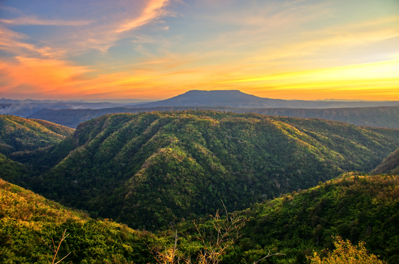
In 1899 (B.E. 2442), King Chulalongkorn’s government made Monthon Phetchabun its own monthon — the horseshoe of mountains had kept it too far from any neighbouring administration — with Phraya Phetcharat Songkhram (Fueang) as the first commissioner. The monthon was abolished in 1904, restored in 1907, and dissolved again in 1916, before monthons ended across Siam in 1933. In 1943 (B.E. 2486), Field Marshal Plaek Phibunsongkhram’s government planned Nakhonban Phetchabun as a new capital, leaving Bangkok as the port: a valley 346 kilometres inland, judged safer in the Second World War. Parliament did not approve the Nakhonban administration, so the capital move was dropped, yet the roads and buildings of that push made the province widely known. From 1967 to 1982 (B.E. 2510–2525), more than fourteen years of armed struggle with the Communist Party of Thailand ran along the Phetchabun–Phitsanulok–Loei ridges, above all at Khao Kho. The old battlefield is now a memorial landscape, and one of the cool highlands travellers come to see.