01
Geography & Climate
A Yom Valley Between Twin Ranges
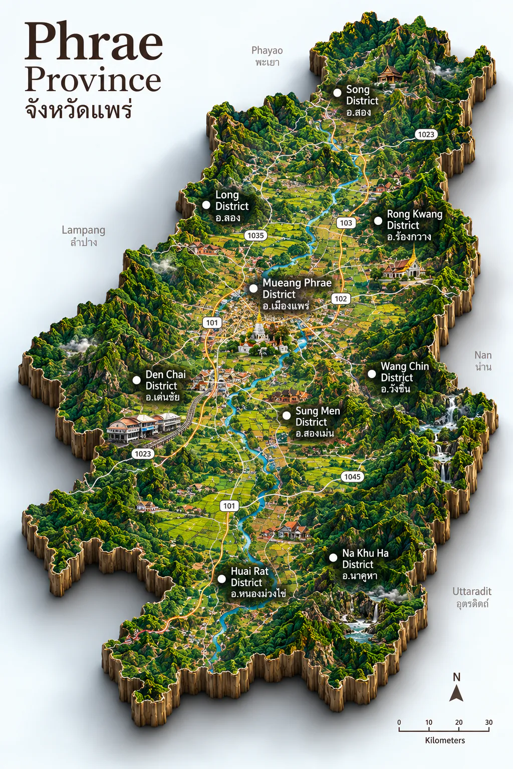
Phrae sits in upper Northern Thailand, about 6,539 square kilometres of river valley and forested mountain, roughly 550 kilometres north of Bangkok. Clockwise from the north it meets Phayao, Nan, Uttaradit, Sukhothai, and Lampang. The Yom River runs through the central plain; the Phi Pan Nam Range rises to the west and the Phlueng Range to the east, so hills and forest claim most of the land and the livable floor gathers along the river.
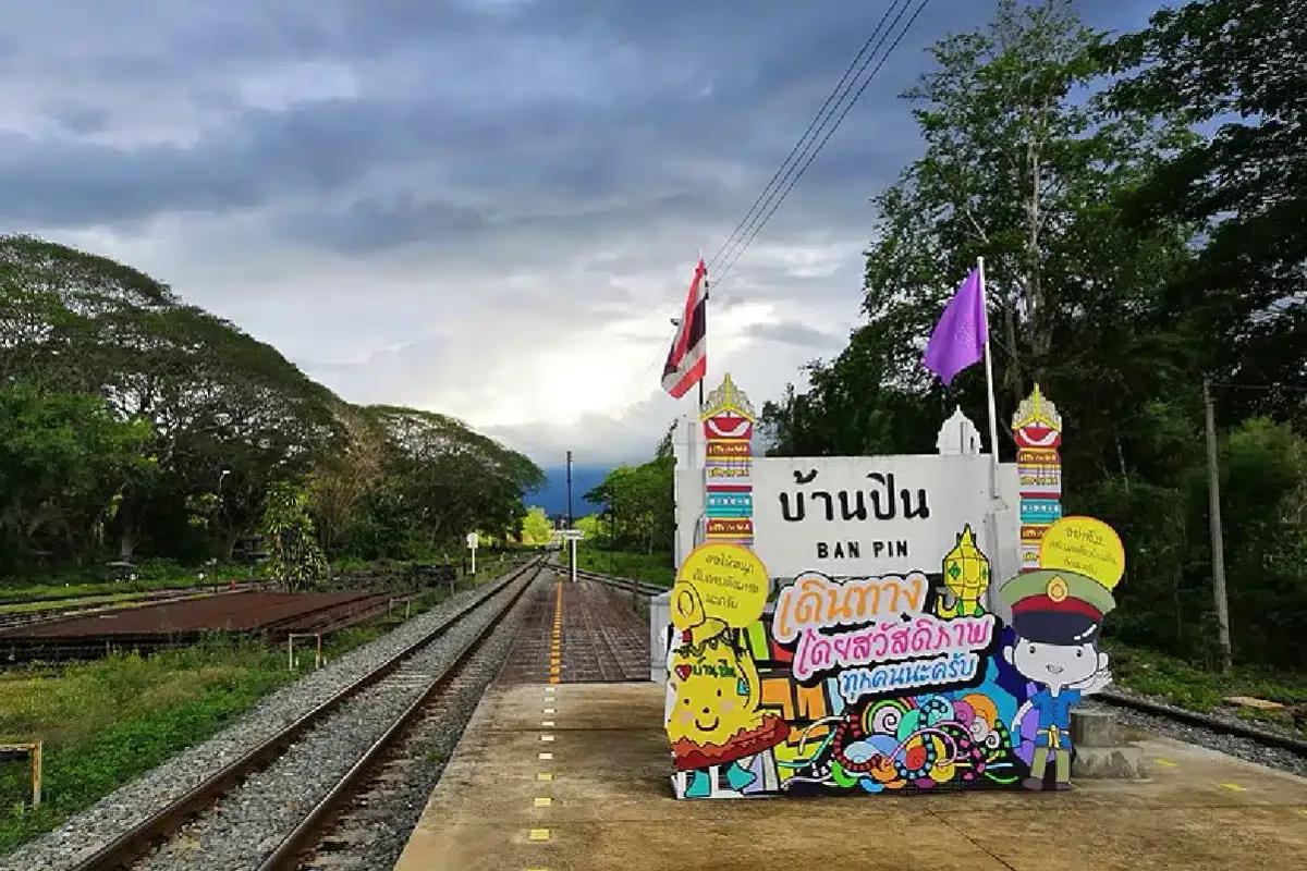
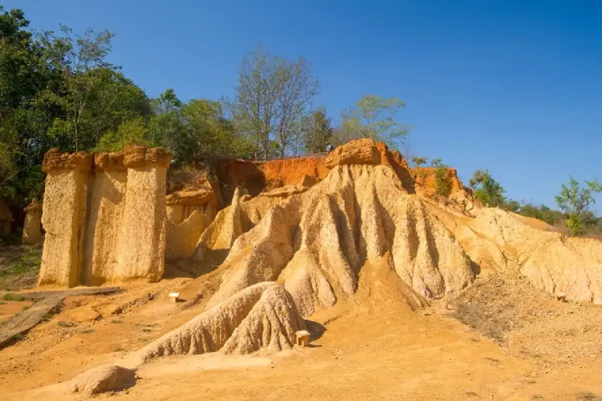
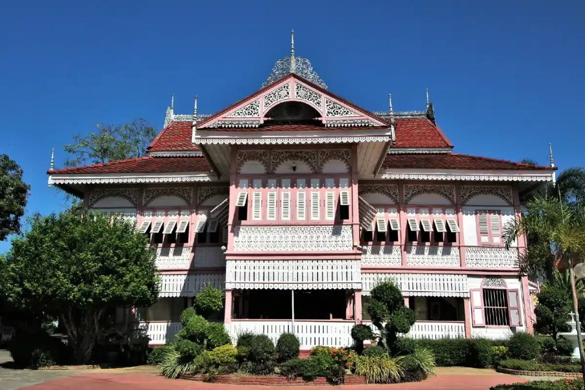
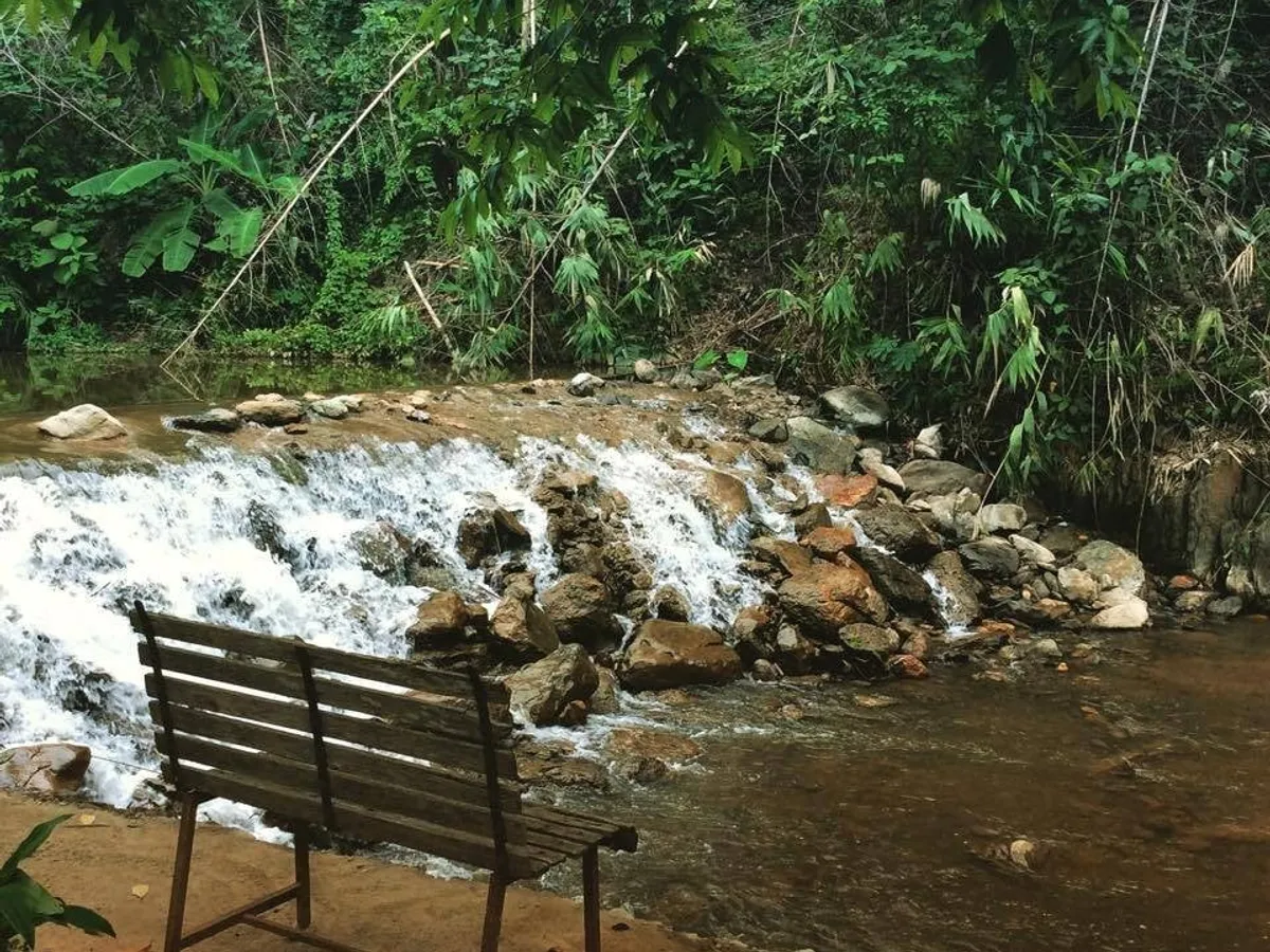
About eighty percent of the province is hill and mountain; the flatter twenty percent — around Mueang Phrae, Rong Kwang, and Den Chai — carries the rice fields, teak-town streets, and the rail gateway at Den Chai. Forest still covers a large share of the land. Beyond town, Wiang Kosai and Mae Yom national parks, the eroded earth pillars of Phae Mueang Phi, and cool waterfall trails open the same ridges that once framed the old city.
The climate follows the northern monsoon. November to February brings the cool, clear dry season — the classic window for old-town walks and temple mornings. March to May is the hot stretch, when the hills offer the kinder escape. Rains arrive from about May to October, greening the valley; August and September are often the wettest months.
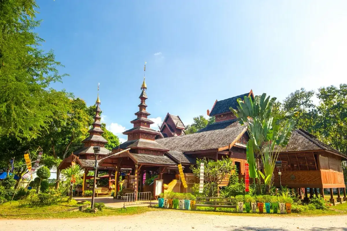
Best time: November – February for cool dry air, clear valley light, and easy days among teak houses and Phra That Cho Hae; March – May for highland shade; May – October for lush parks, fuller waterfalls, and quieter town streets.